By utilising advanced UAV photogrammetry we can survey large areas quickly. The data is combined into a 3D model from which several different materials can be refined, including surface models, volume calculations, height contours, point clouds and orthomosaics.
Precise and quality aerial surveying
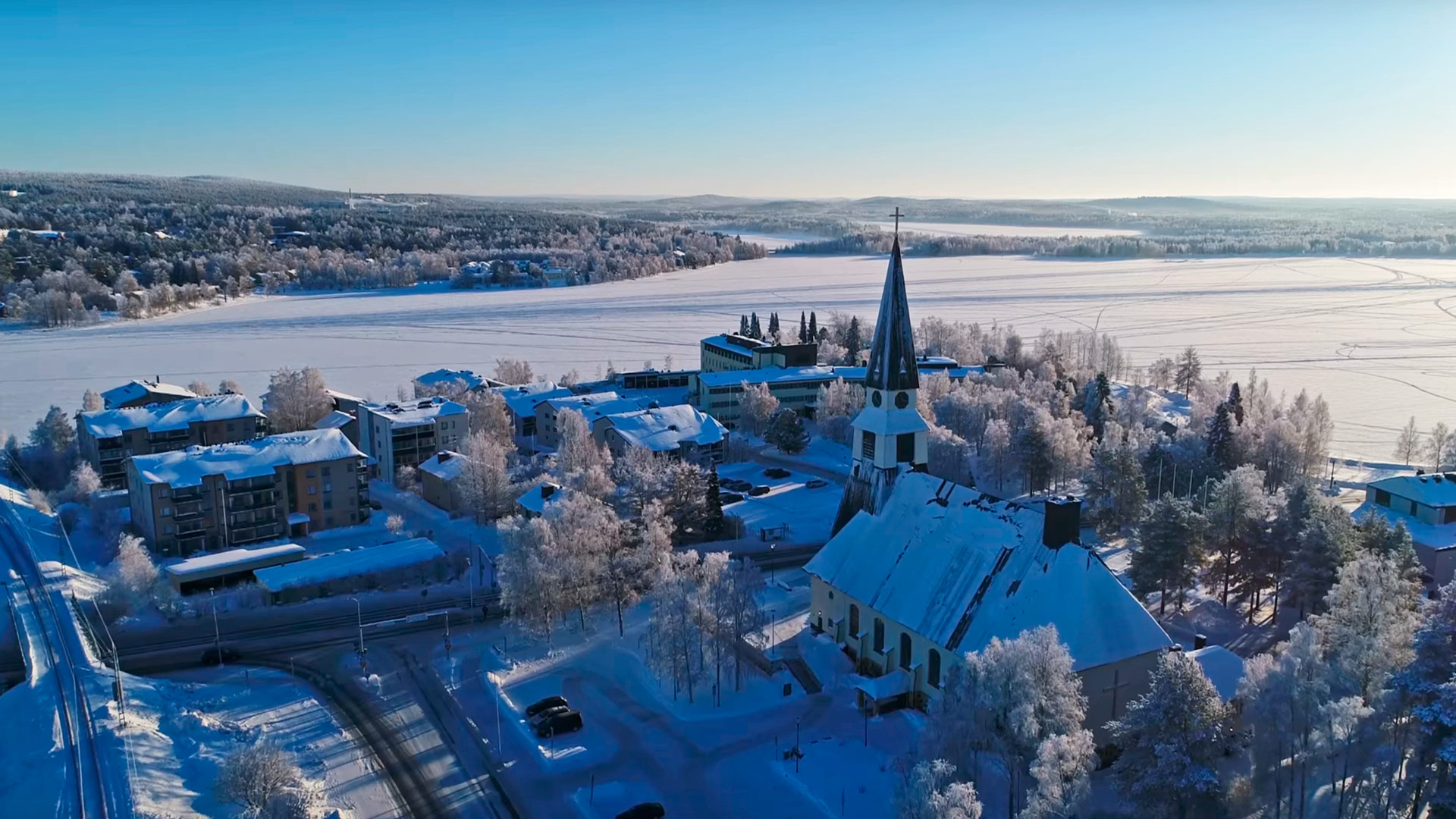
Aerial surveying is ideal when the subjects are large areas of terrain, such as quarries and roads, but also large urban objects such as bridges or junctions and itersections. Other methods can’t reach the natural look aerial photogrammetry provides.
- UAV drone designed and manufactured in Finland.
- Top of the line software for maanging images and data sets.
- Accuracy of 20-30 millimeters.
- 30 minute flight covers and area of 90 hectares.
The process
Defining the flight plan
Set waypoints for the drone’s autopilot.
Pictures at regular intervals
The drone takes pictures of the area automatically.
Scope of the area
Drones are best utilised in recording areas between one and five square kilometers.
Image processing
We use top of the line software to combine, stitch and transform images into other types of data.

Surface models and volume calculations
Pointcloud can be refined into surface models. Volume calculations can also be done with which the amount of excess or missing earth, gravel or other materials needed to move the project forward can be defined.
Height contours and point clouds
Accurate height contours can be created with the help of an UAV to assist in design and engineering. Detailed point clouds with true colors are also of great help in planning and visualising.
Have a look at our projects
Frequently asked questions
-
When should a drone be used?
Drones are faster and more cost-efficient than traditional methods when surveying large areas. Most common applications are land surveying, mapping and infrastructure planning. Rooftop modelling and inspection are very handy to perform with a drone.
-
What kind of drone are you using?
We use the domestic manufactured GeoDrone X4L which is the most powerful UAV of its weightclass. When fully equipped for work it weighs around five kilos, and one flight can cover up to 90 hectares of land area. It truly shines in surveying areas that are compact, dangerous or hard to get in.
-
Does aerial imaging and photogrammetry aid in marketing?
Our experience shows that especially different tourism firms and event organizers, such as igloo villages, gain a great benefit from aerial imaging. Our services include refining the scan and imaging material into marketing material in the form of high quality images and videos, even point clouds of real world when needed.